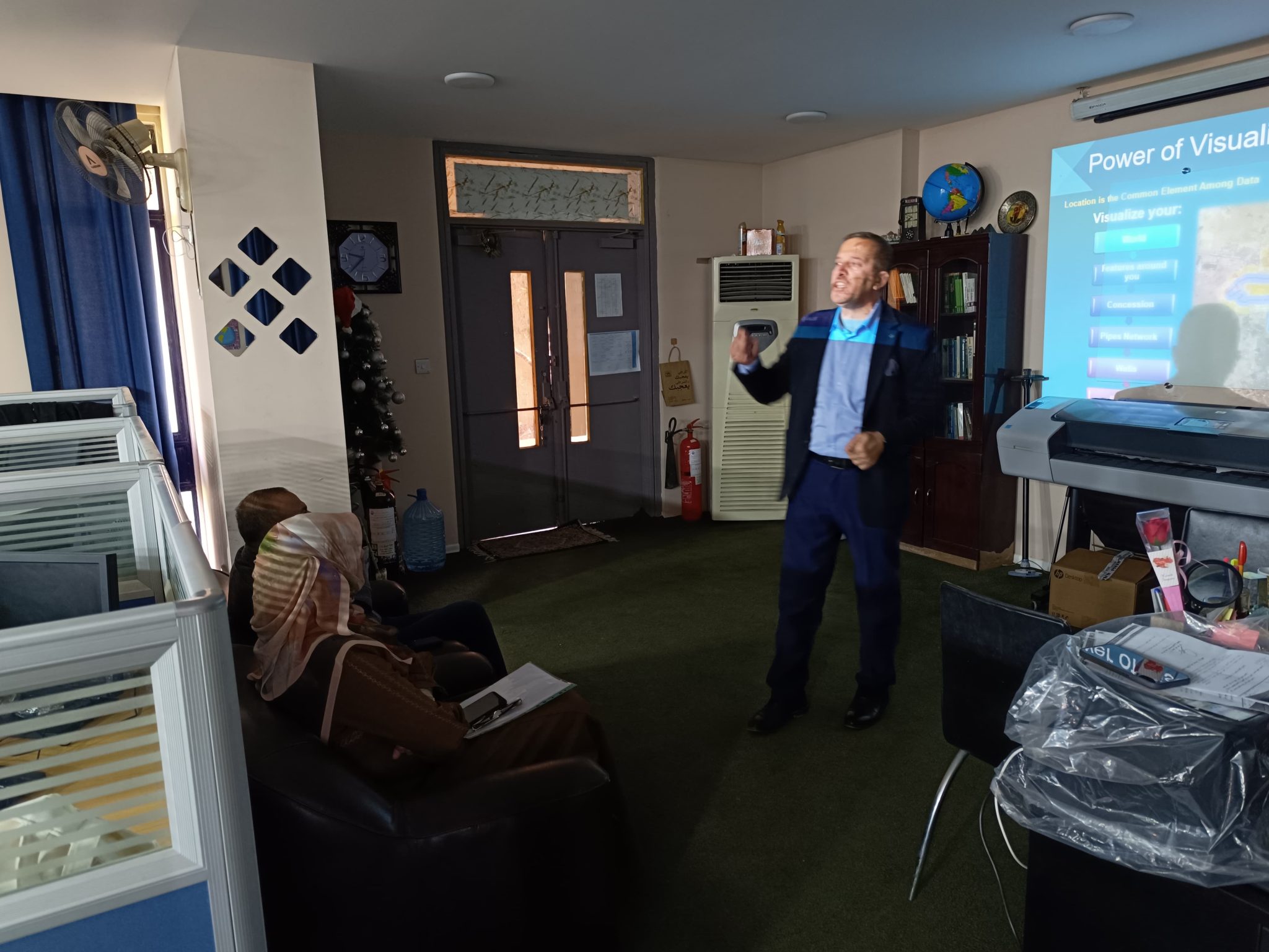
The Center of Urban and Regional Planning for Postgraduate Studies at the University of Baghdad received a number of female teachers and students from the Department of Remote Sensing and Geographic Information Systems at the College of Science at the University of Baghdad as part of a scientific visit to the center. This visit comes to learn about the Center, its laboratories, and the most important geographical technologies applied in it, such as geographic information systems (GIS), and its importance in a practical way. The Assistant Dean of the Center, Professor Dr. Moheib Kamil Fleih, gave a lecture on the subject (GIS 2) in which he explained the work of modern geographic information systems and their uses in urban development and urban expansion, which shortens the work in terms of time and engineering and mathematical calculations.
