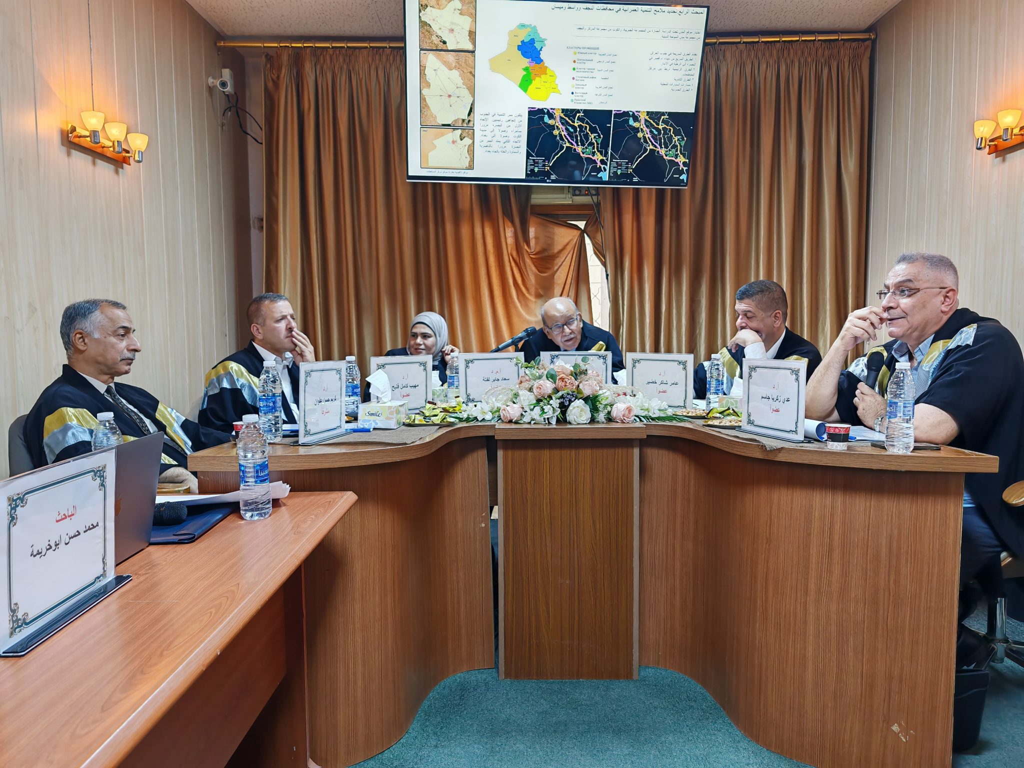
The Center of Urban and Regional Planning for Postgraduate Studies at the University of Baghdad discussed the summary of the doctoral thesis entitled (Methods of using geomatics in urban and regional planning for large cities such as Kut, Amara and Najaf – Iraq) by the student Muhammad Hassan Abu Khreima from the Department of Architecture and Urban Planning at Belgorod Technological University in Russia, and supervised by Professor Dr. Karim Hassan Alwan.
The thesis aimed to study the confusion in urban areas such as Kut, Najaf and Amara, due to the rapid population growth that is not consistent with the limited resources in those governorates, and to search for ways to improve the quality and efficiency of life of the population through the optimal use of land without compromising its ecological condition by developing an urban planning methodology to assess the sustainability of the lands of large cities using methods and technologies of geographic information systems.
The researcher assumed the possibility of using geomatics in evaluating urban planning and predicting the problems facing the urban environment in the study area, which could develop methods for evaluating urban planning using geomatics (sciences and technologies related to urban data in their digital form) to manage the growth and development of the studied areas by analyzing the local and foreign experience and the factors affecting it, and thus developing a systematic mechanism to evaluate the sustainability of the lands of major cities after testing the developed methodology similar to the large cities, leading to developing recommendations on urban development for managing the study cities of Kut, Najaf and Amara in Iraq.
The analysis of local and foreign experiences in using geographic information system technologies indicated the ability and effectiveness of using geographic information system in solving sustainable development problems in the regions, and managing the development of major cities by proposing the establishment of a set of factors that affect the optimal use of land, and developing a methodology to evaluate the sustainability of the lands of major cities with the help of geomatics and identifying the main patterns for the development of a large city region using the hierarchical analysis method.
