The Center Participates in the First National Conference on Geographic Information Systems
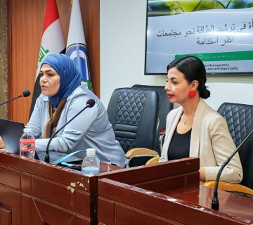
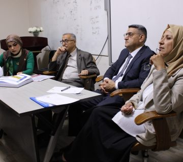
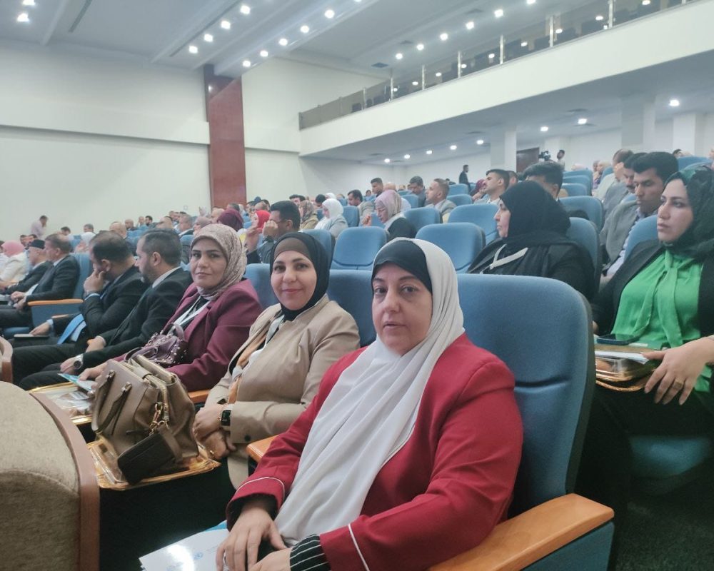
A group of faculty members from the Center of Urban and Regional Planning for Postgraduate Studies at the University of Baghdad participated in the first national conference on geographic information systems (GIS), held under the theme “Towards a Comprehensive National Coordination of Geospatial Data,” which was held by the General Authority for Statistics and Geographic Information Systems (GIS) at the Ministry of Planning. The center was represented by Professor Dr. Arej Khairy Al-Rawi and Professor Dr. Nada Khalifa Muhammad Al-Rikabi, as well as Assistant Professor Dr. Suad Jaber Lafta. They emphasized that the conference aimed to highlight the role of geographic information systems (GIS) in collecting geospatial data in coordination with relevant institutions and unifying it on a national scale, consistent with the aspirations of the Ministry of Planning and other planning institutions.
The conference included several dialogue sessions that addressed the importance of unifying geospatial data in supporting decision-makers. The conference also discussed the National Population, Housing, and Establishment Census Project for 2024, as well as the GIS Law.
It is noteworthy that the conference was attended by the Minister of Planning, Professor Dr. Mohammed Ali Tamim, along with a number of general managers, officials, and a group of academics from various Iraqi universities.