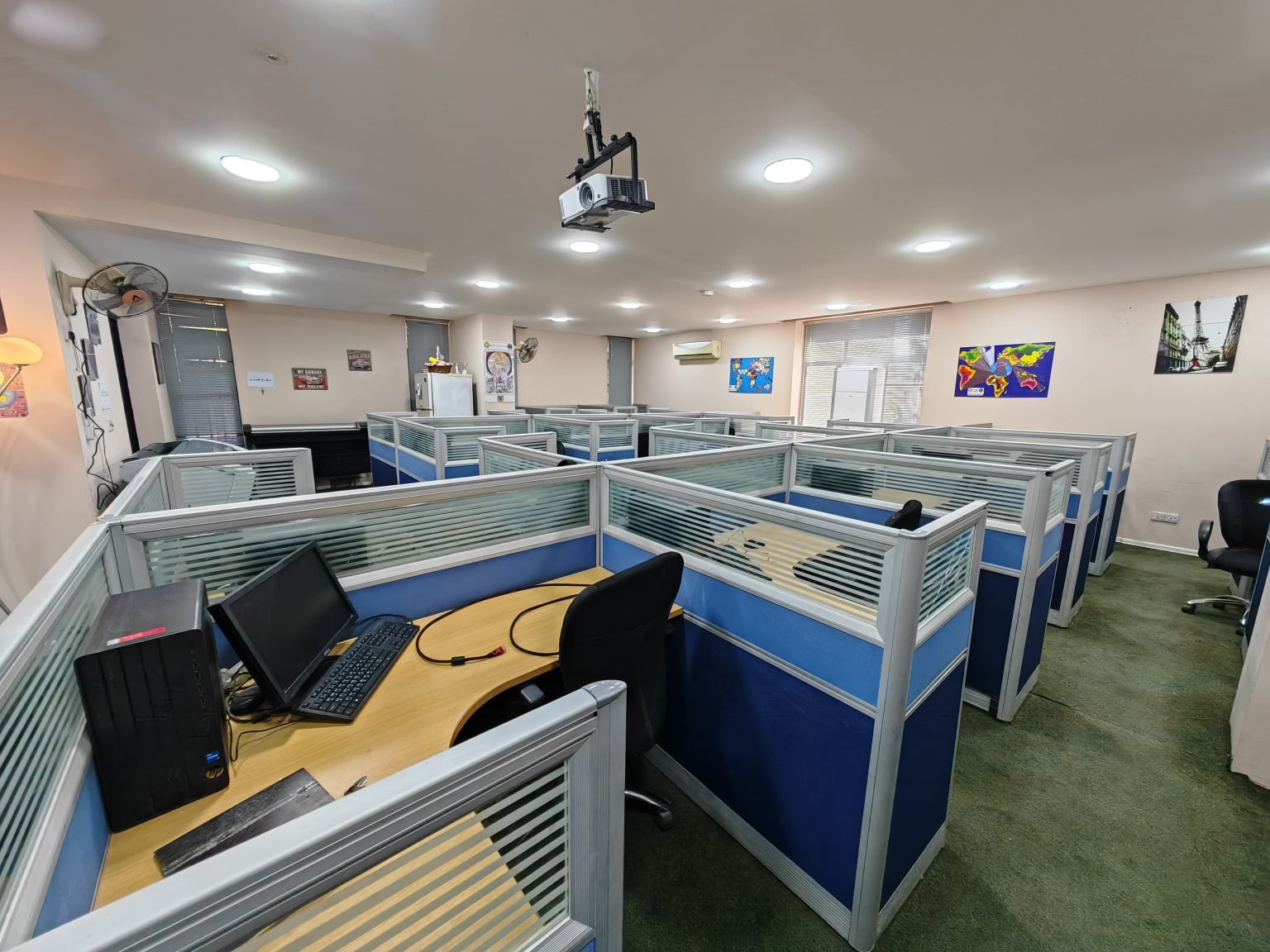
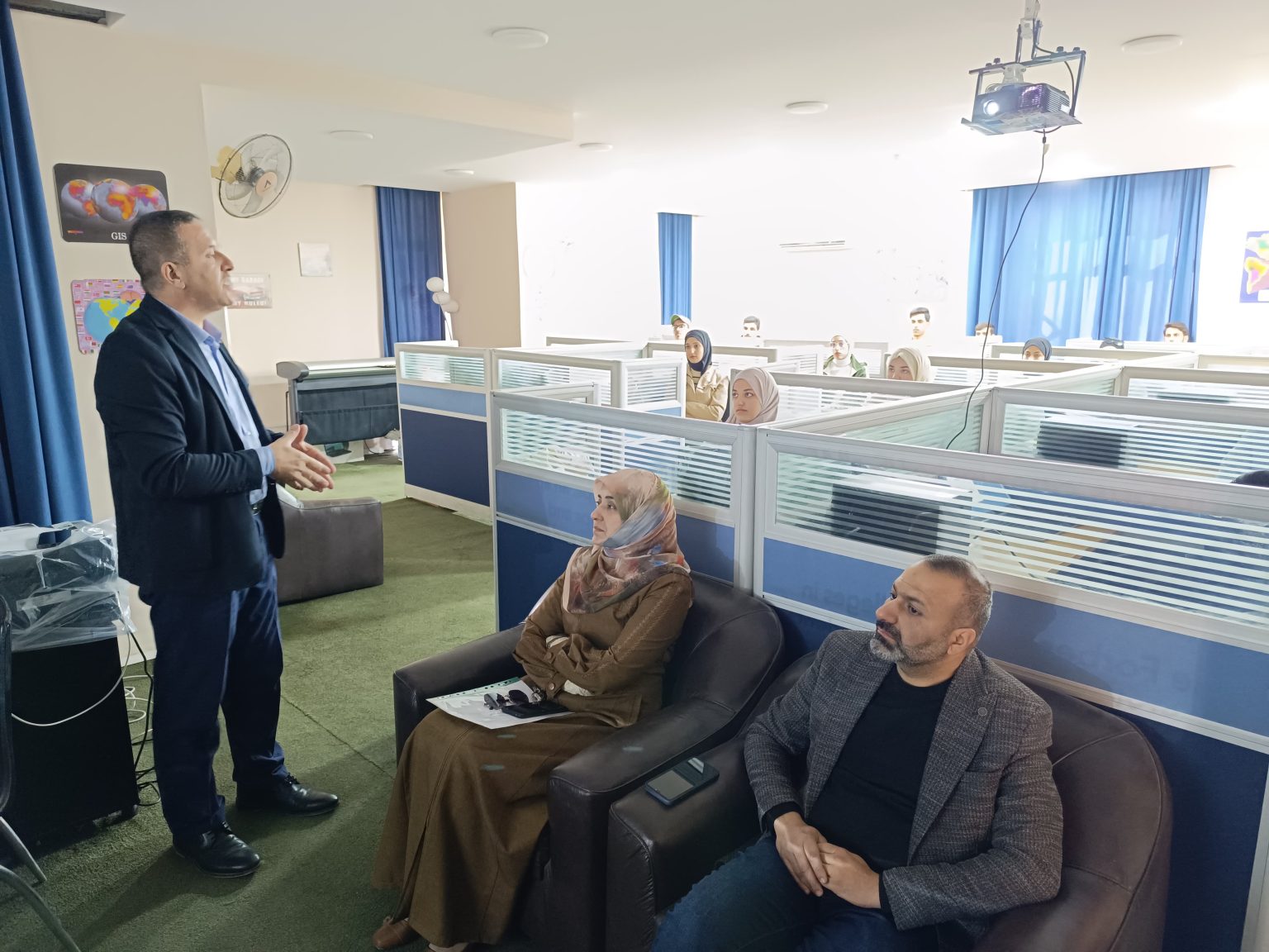
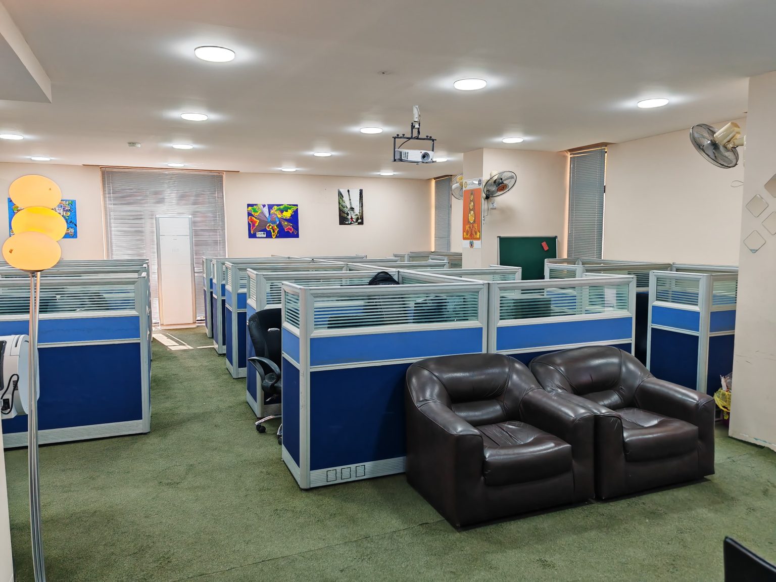
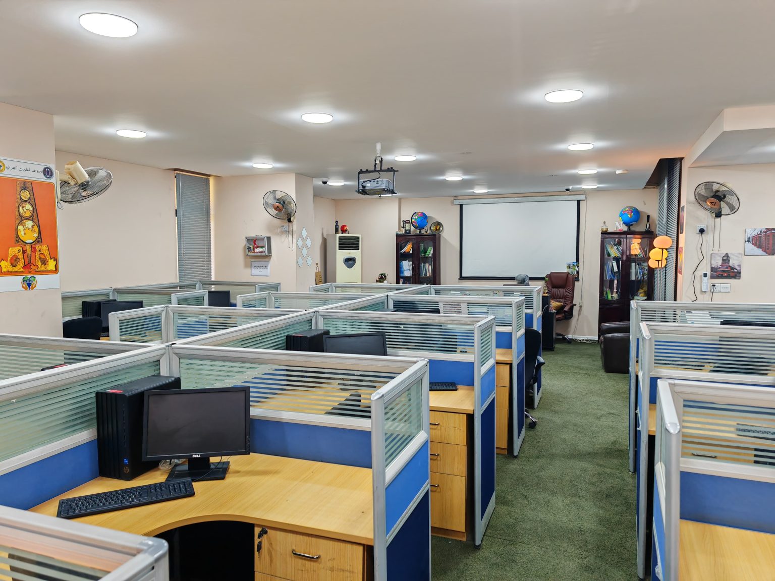
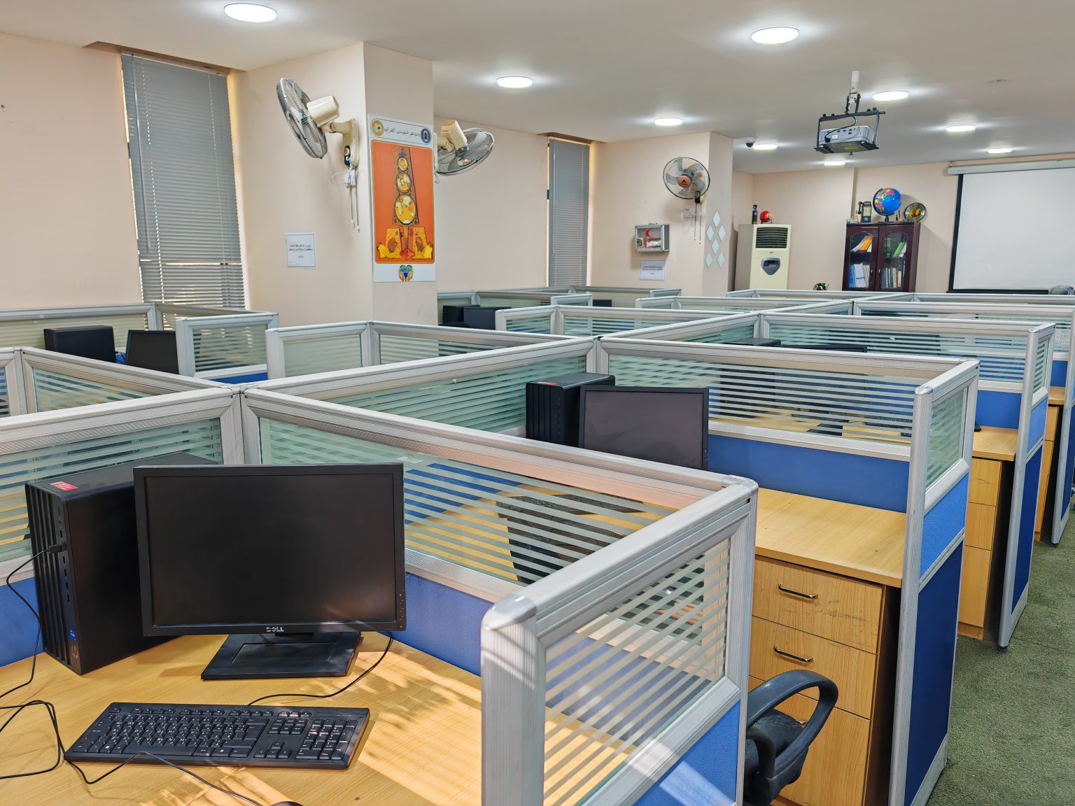
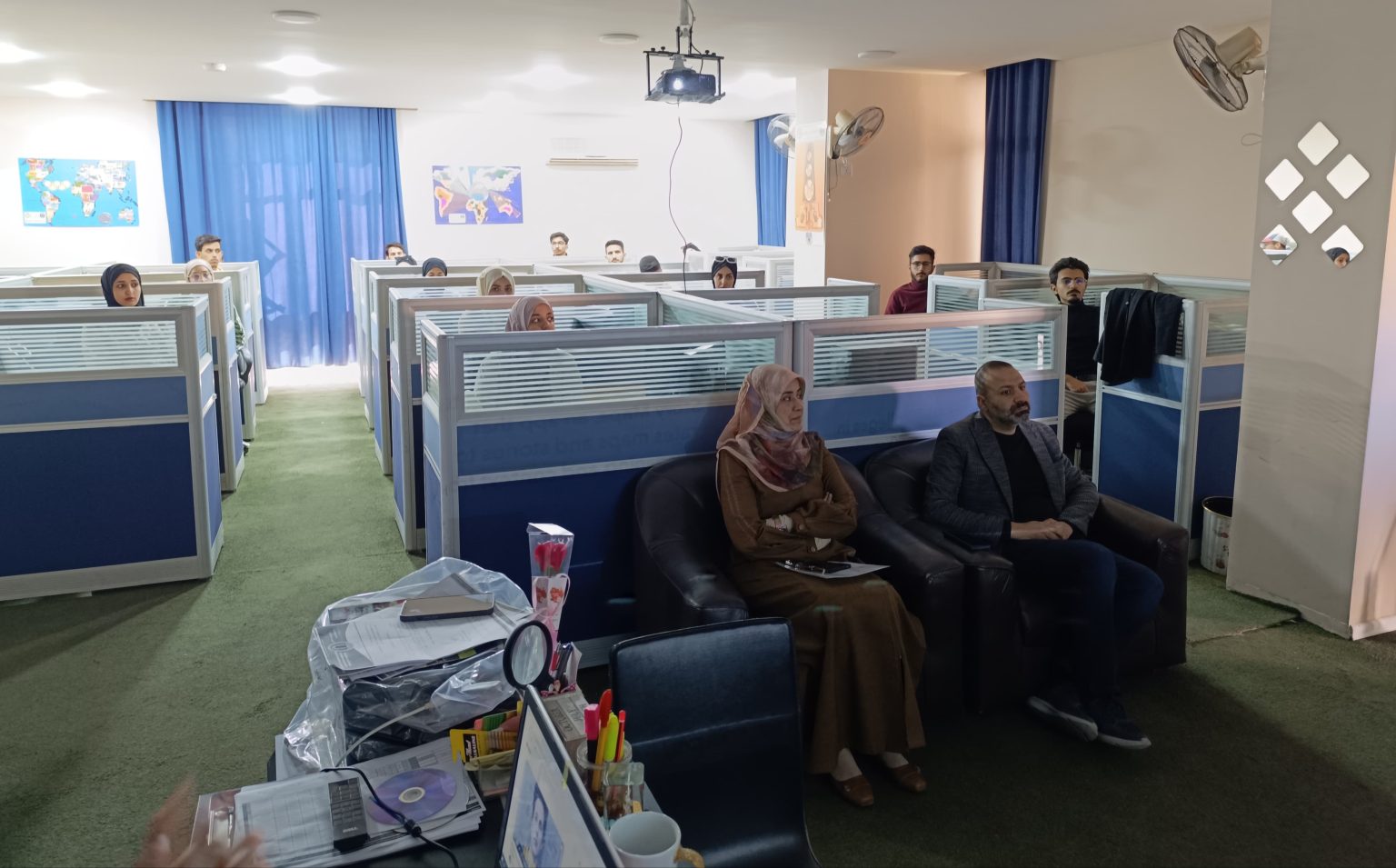
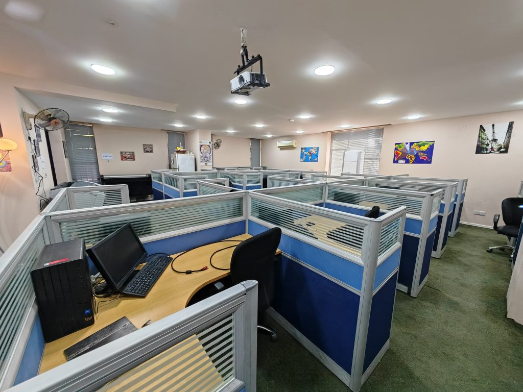
It is an independent unit of the center’s units, as it includes (GIS Laboratory), which is the place where the professor and his students test scientific assignments. Many practical presentations and experiments are conducted in it, and therefore the education policy in all departments of the center is keen to form scientific skills and take care of applied aspects.. Education through the laboratory awakens interest and develops the ability to observe, record accurately and conclude based on facts, and develops skills and methods of purposeful value.. Therefore, the laboratory is one of the basics of the educational process, and it facilitates learning for students and the professor’s integrated performance in explaining their lessons and conducting practical experiments with extreme accuracy.. It is the place where the student’s comprehension of information is completed.
GIS Laboratory
The Geographic Information Systems Laboratory was opened at the Urban and Regional Planning Institute for Graduate Studies, University of Baghdad, on 11/29/2024 in cooperation with the PRT organization. The laboratory was opened by the President of the University of Baghdad, in the presence of the Undersecretary of the Ministry of Planning, the Undersecretary of the Ministry of Construction and Housing, the Minister of the Agency for Culture and Information, the Director and a group of members of the PRT organization, as well as the Director of the Atlas Company.
| 1 | Dell computers with all accessories | 10 |
| 2 | Dell computers | 15 |
| 3 | Server | 1 |
| 4 | Laptop | 2 |
| 5 | HP plotter | 1 |
| 6 | Large size scanner | 1 |
| 7 | HP laser printer | 1 |
| 8 | GPS device | 1 |
| 9 | Trimble Geo-Collector GPS device | 2 |
| 10 | External Hard Drive device | 2 |
| 11 | Server device | 1 |
| 12 | UPS protection device | 15 |
| 13 | Data show device | 2 |
